Having grown up an "Anglo" in Montreal, you'd think I'd have wargamed Wolfe's Quebec several times by now, but really, given the way it was presented in school, there was nothing to it. Wolfe had a brilliant plan, The British were gallant and the French all ran away. It was while I was studying at the Military College in St. Jean, that doubts started creeping in.
I think the first crack came during the American Bicentennial, as Cadet Curator of the Musee de Fort St. Jean, I and my 2ic Simon MacDowall, under the guidance of Dr Ruddy (as good a professor and friend as one could wish for), had the pleasure of coordinating a portion of the visit of the Brigade of the American Revolution to Quebec. Montgomery had besieged Fort St. Jean back in the day and the Brigade was following in their footsteps, putting on displays of drill and firing a few volleys etc.. I was invited to accompany Dr Ruddy for the finale on the Plains of Abraham, and that's where this becomes relevant to the matter in hand.
 |
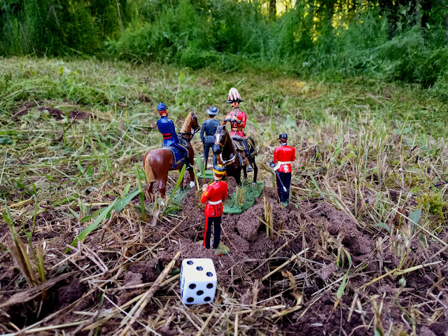
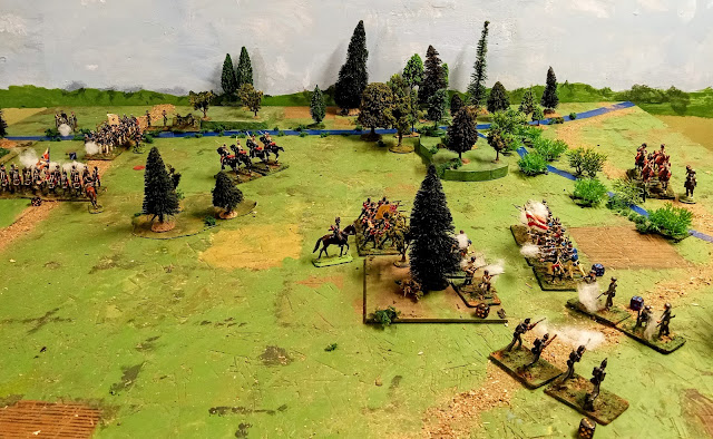
| OK, Hopefully the games will look better than this quick mockup. |
While touristing around, I went to see the famous Wolfe's Cove/L'Anse au Foulon where the British soldiers scaled the cliffs, dragging cannon behind them to surprise Montcalm. Having wandered through the old Lower Town and followed the road up to the heights, I was confused. The map and some plaques indicated that I was there but it wasn't even a stiff walk up really. Eventually I shrugged my shoulders and decided that at some time in the past, someone must have blasted a road out of the cliff face.
Then, a year or so ago, I bought a new book on the campaign: Northern Armageddon: The Battle of the Plains of Abraham and the Making of the American Revolution by D. Peter MacLeod. This Canadian historian has done some very thorough research, including digging through archives in France and Britain as well as Canada, and letters and diaries etc from various individuals including both armies, the Royal Navy, and les Canadiens and even a transcription of an account by one of the First Nations who was there. He also studied a lot of period maps. Turns out, the maps and French accounts all agree that there had long been a road running from the cove to the plain at the top, that's why the French used it for supplies and why the British were able to get the army up so quickly including artillery pieces.
By studying current information etc in RN records and various diaries and reports, several things became clear. The French post was not at the top of the cliff, it was partway up the road. The advance party of Grenadiers and Highlanders was supposed to land at the cove but the current carried them past it. Not ones to quit, they landed and scaled the cliff to the top. By the time they got there, the main party was already making a frontal assault with little success, so the advanced party descended and attacked the French in the rear!
For the first time, it all made sense. I'd always wondered why the French had used a steep path up a cliffside to bring in supplies when they had plenty of more convenient landing spots with roads. There was another accepted story about the one volley thing which never quite rang true once I grew up, and it was also debunked and explained but that's for later. The point is, its time I played out some sort of series of tabletop games based around the Quebec campaign 1759/60, and if I start planning and preparing this summer and fall, it'll provide a number of games this fall and winter.


